(84 - 28) 62970345
3D Mapping
The Infrastructure Digitalization Center provides 3D mapping services using unmanned aerial vehicle (UAV) surveying technology and mobile mapping solutions. The collected data is processed to create 2D or 3D terrain maps or extract information for land or asset measurement. The 2D and 3D maps can be used in urban management, agriculture, forestry, mining, land management, pollution control, planning, etc.
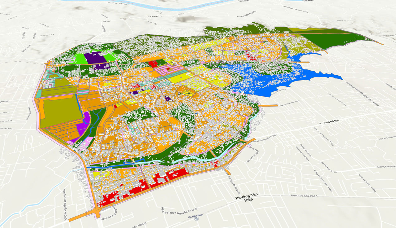
Using UAVs for 3D mapping at mining and construction sites is rapidly becoming an effective data collection method. It reduces the time and increases safety and accuracy compared to manual data collection.
The benefits of 3D mapping include:
- Creating highly accurate 3D models of any object on Earth. Using this data helps calculate area, describe terrain, vegetation, and optimize planning and design stages
- Highly detailed, sharp, and visually appealing images
- Using 3D maps can enhance virtual and augmented reality experiences
- Customers can measure the length and area of structures
Portcoast Digital Transformation Center
We provide digital conversion services in the construction industry. We research ways to apply digital conversion to the world of design and construction, creating a digital platform to optimize design, promote industrial construction processes, and use digital models.
Contact Us
328 Nguyen Trong Tuyen Str., Ward 2, Tan Binh Dist. , Ho Chi Minh City
(84 - 28) 62970345; 62970341
portcoast@portcoast.com.vn